|
|
||
|
|
||
|
(Signatur) |
*für
UDSSR siehe N-Asien/ Innerasien (Signatur 6800)
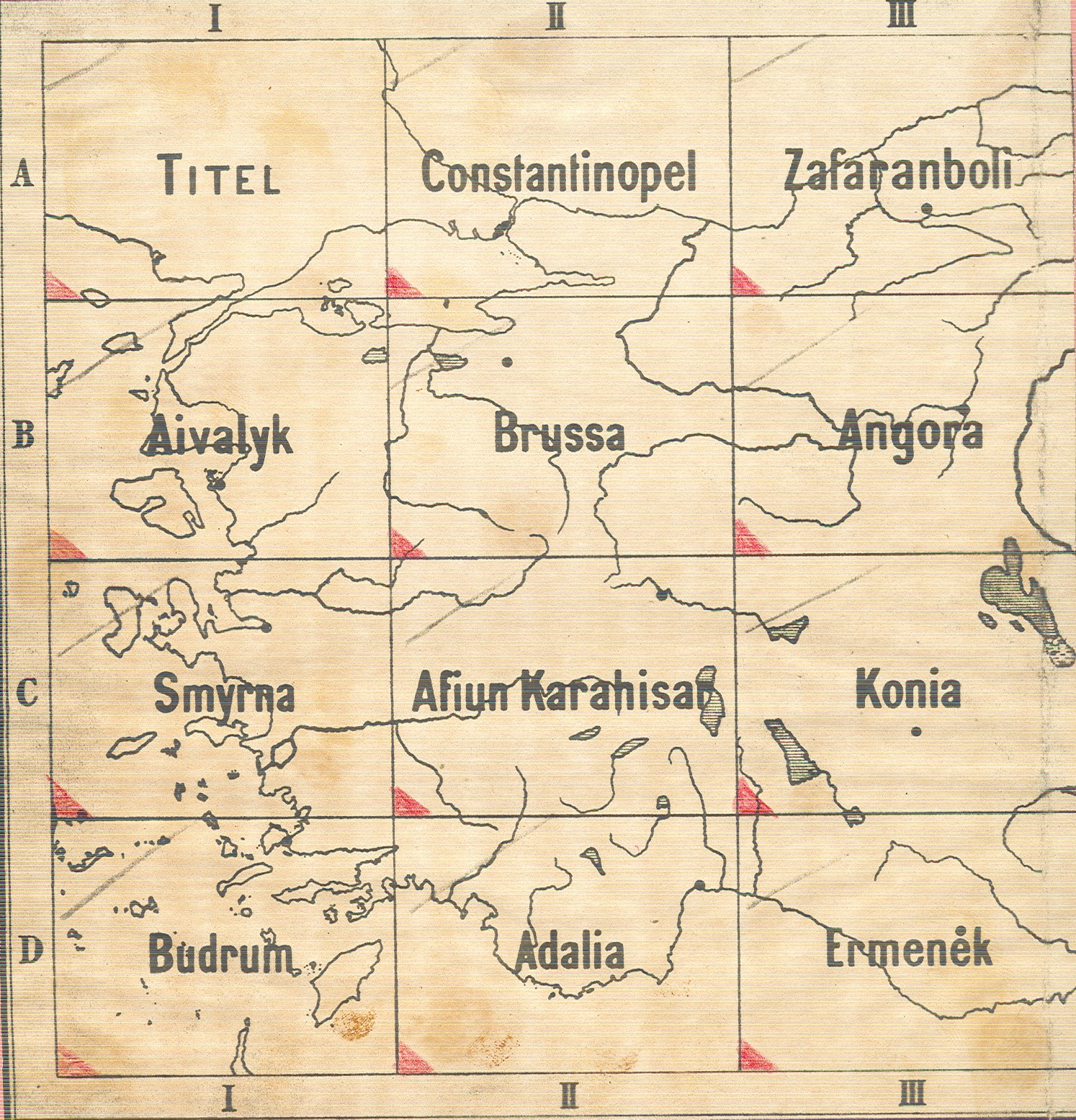
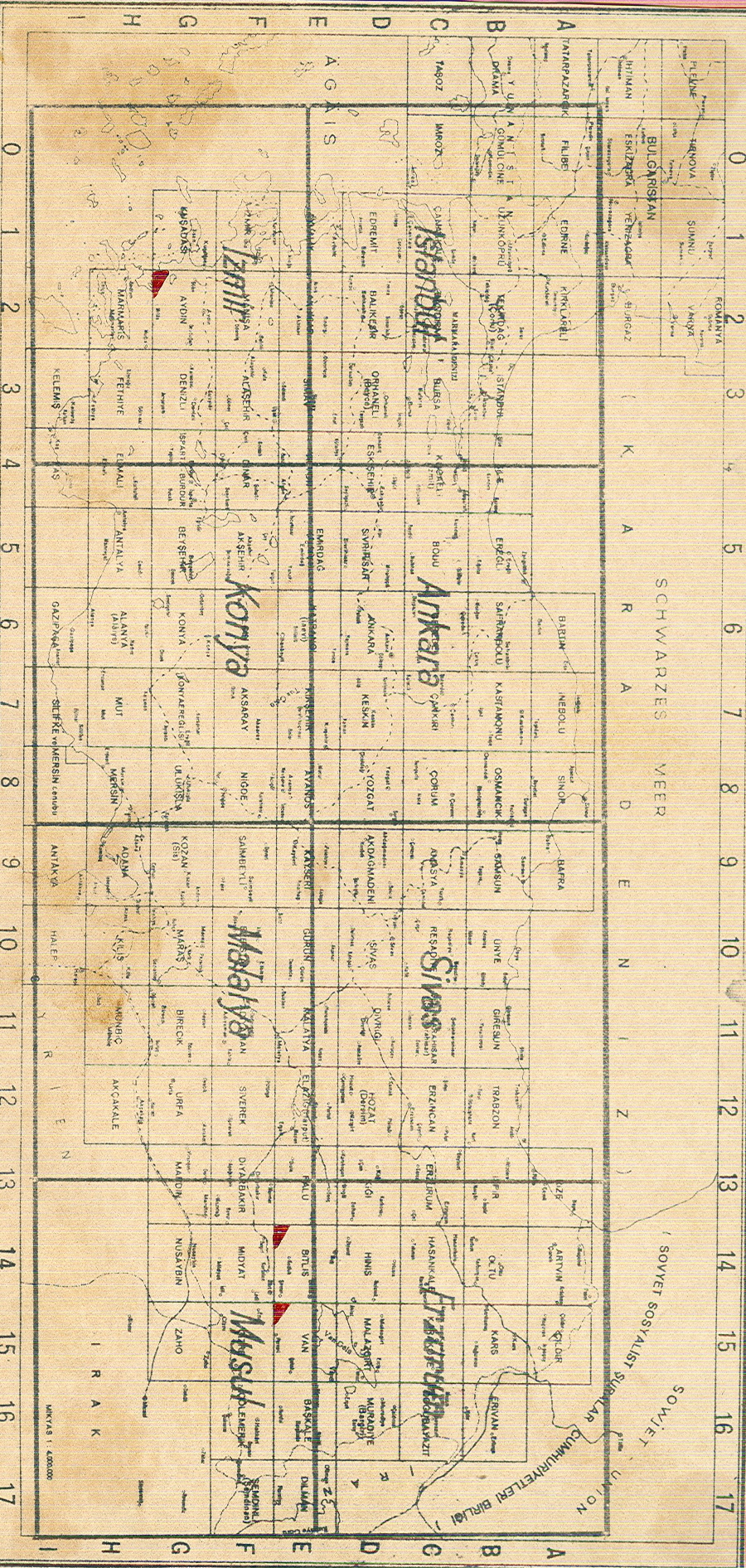
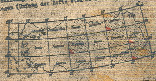
6000-K1 Kleinasien in 24 Blättern
1:400.000,
Berlin, 1908, mehrfarb., vollständig.
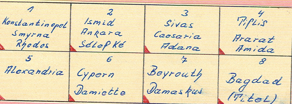
6000-K2 Carte de la Turquie d´ Asie in 8 Blättern
1:1
Mio., Paris, 1924, mehrfarb., vollständig.
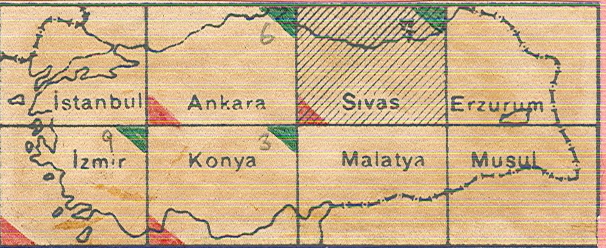
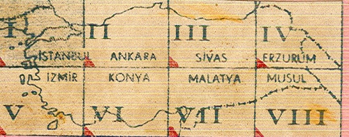
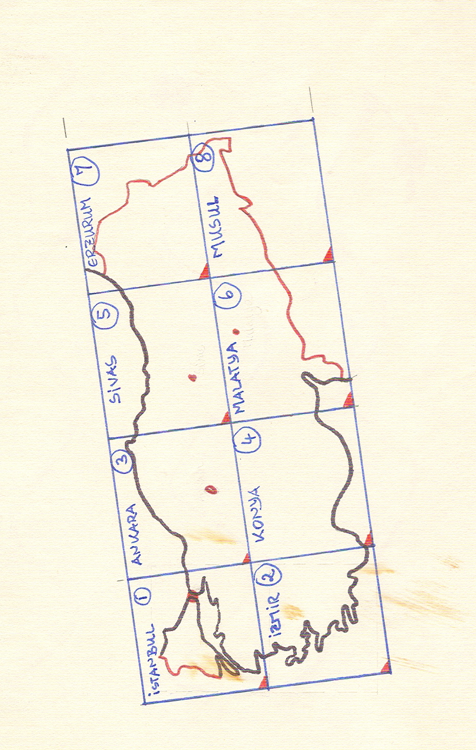
6000-K3 Türkei: Bl. Ankara, Sivas, Konya (deutsche
Ausgabe 1941)
1:500.000,
nach der türkischen Ausgabe 1:800.000.
6000-K4 Eastern Turkey in Asia, engl Ausgabe
1:250.000,
1940, Teile, vollständig.
6000-K5 Türkei: türkische Ausgabe
1:200.000,
1939, 1-farbig, 3 Blätter.
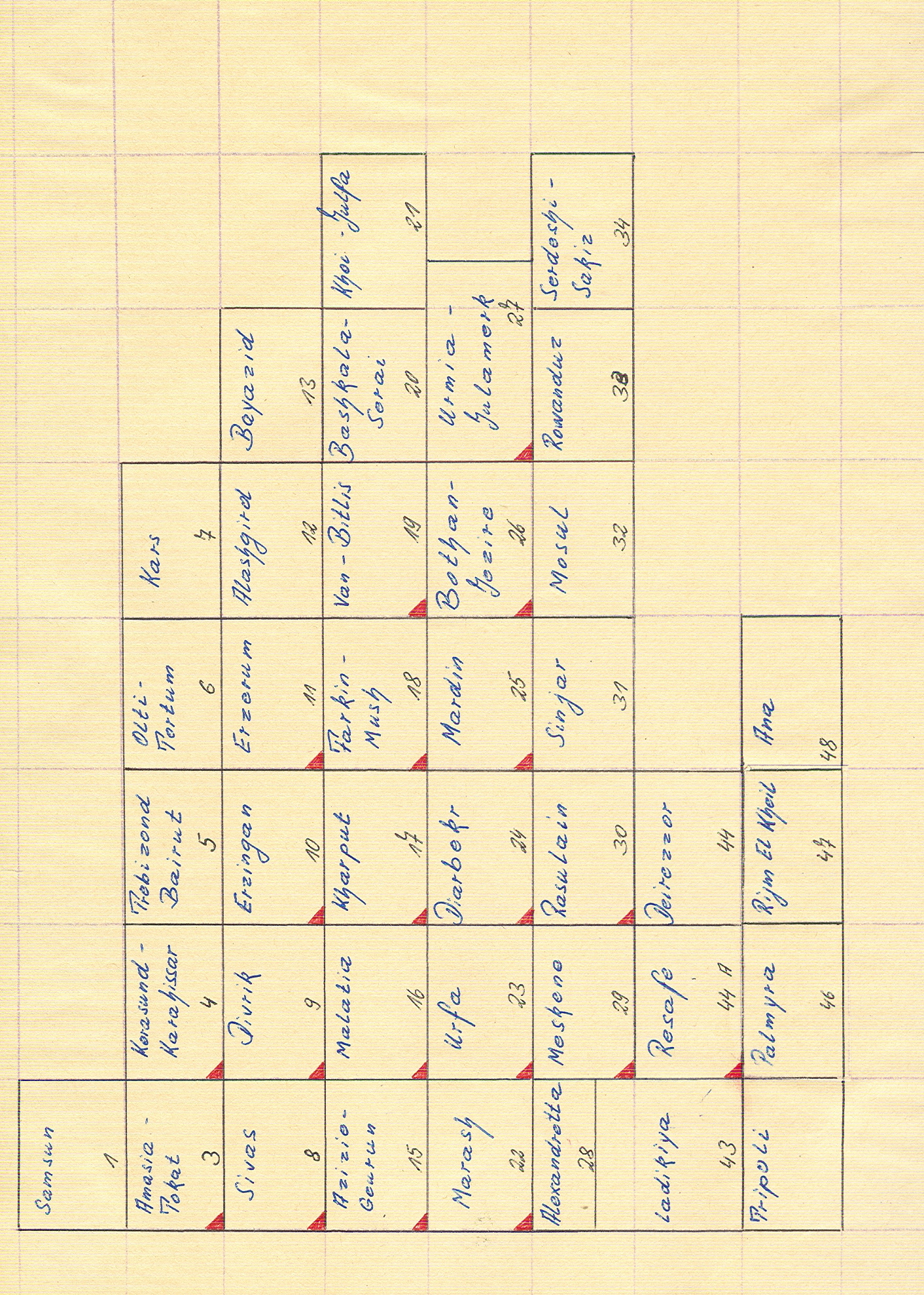
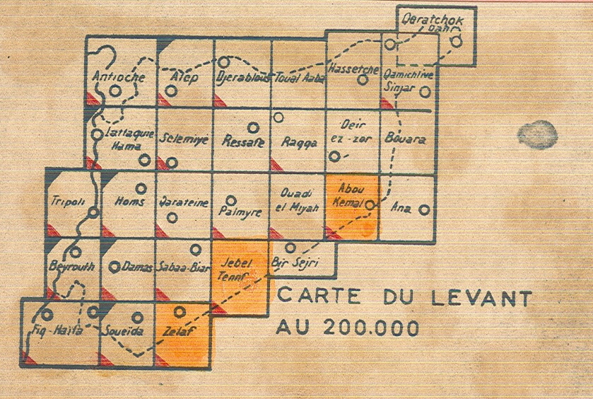
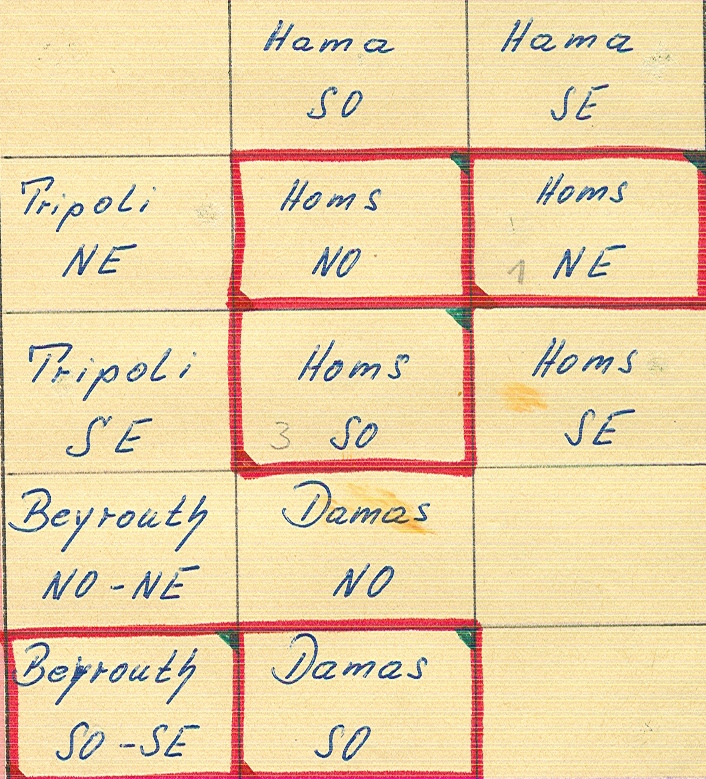
6000-K6 Carte du Levant: frz. Ausgabe
1:200.000,
Beirut, 1936ff., 34 Blätter mit Dupl.
6000-K7 Carte du Levant: Amplification de la carte
de l´Etat-Major Ottoman
1:100.000, Paris, 1920-24, 5 einzelne
Blätter.
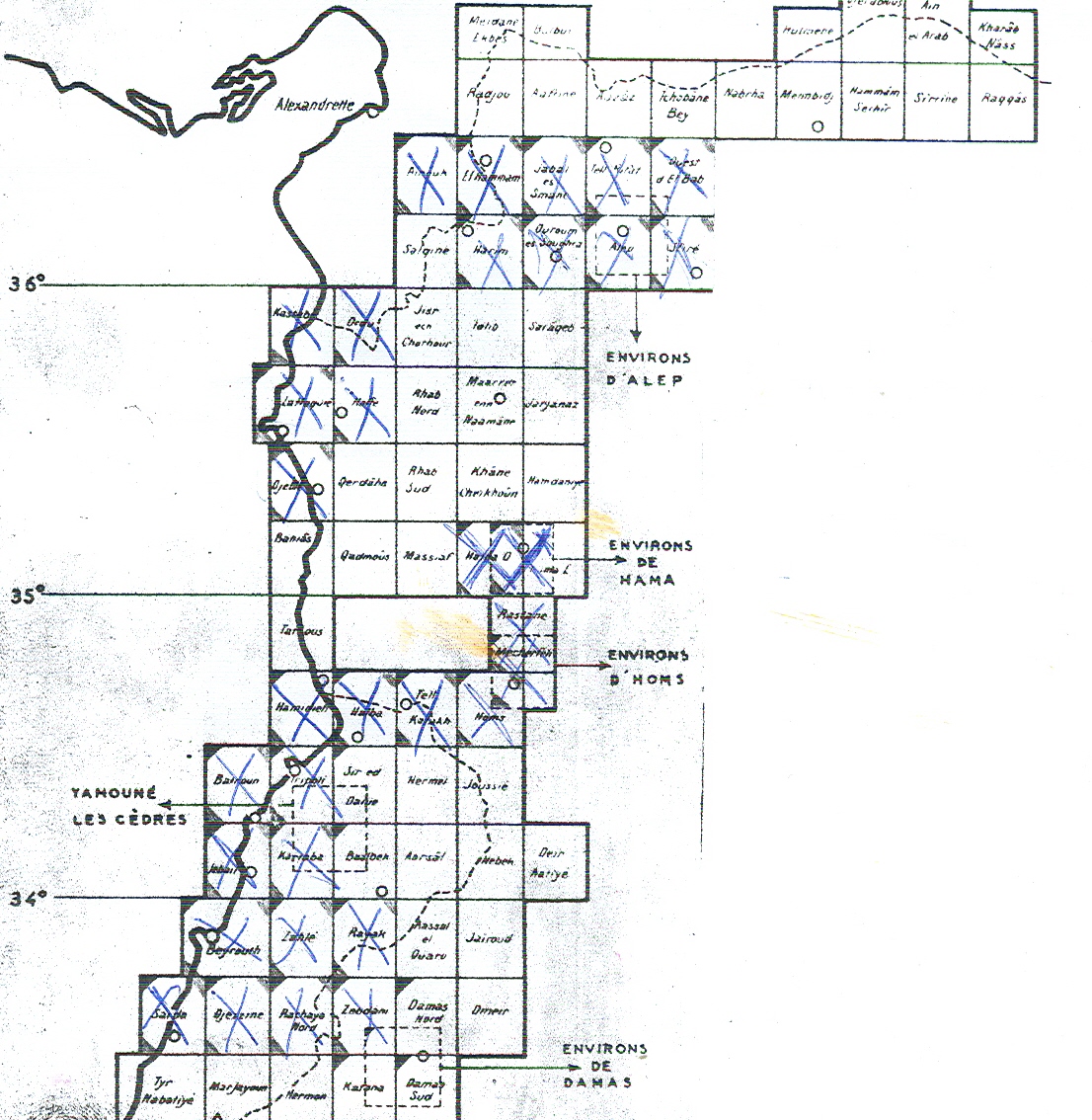
6000-K8 Carte du Levant
1:50.000,
Paris 1938/39, 90 Blatt, mehrfarbig.
6000-K9 Palästina
1:50.000,
1:25.000, Berlin, 1918, 1-2 farbig.
6000-K10 Mesopotamien und Syrien
1:400.000,
Berlin, 1918, 18 Blatt.
6000-K11 Kleinasien: Pontusgebiet
1:250.000,
Athen, 1921, 35 Blatt.
6000-K12 Ostjordanland
1:63.360,
Leipzig, 1913, 8 Blatt.
6000-K13 Östlicher
Irak
1:400.000,
Berlin, 1917, 2 Bl.
6000-K14 Westturkestan
russ.
Ausgabe, 1906/07, 2 Bl.
6000-K15 Indochina
1:100.000,
Paris, 1927-31, 22 Bl.
6000-K16 Ost-China
1:1
Mio., Berlin, 1909-12, 14 Bl.
6000-K17 Tschili und Schantung
1:200.000,
Berlin, ca. 1907, 63 Bl.
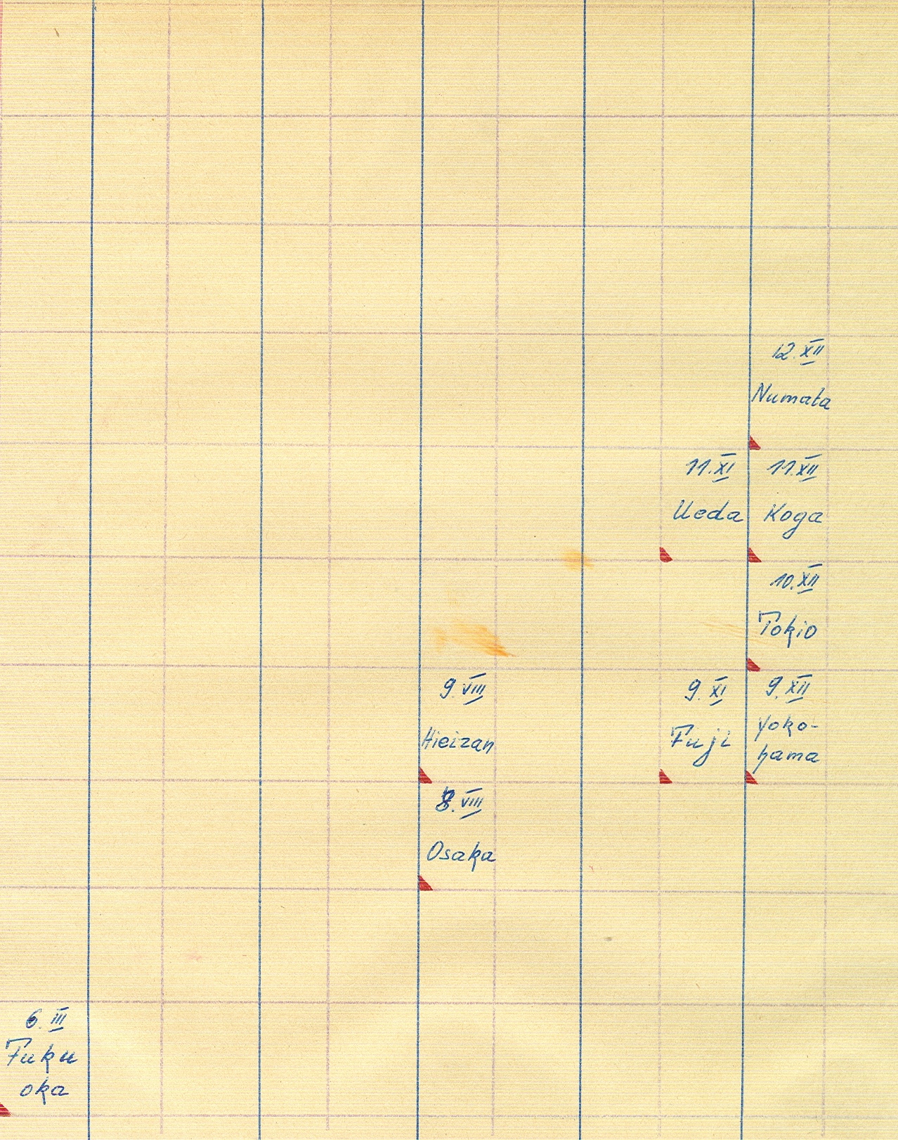
6000-K18 Japan
1:200.000,Tokyo,
1892, 6 Bl.
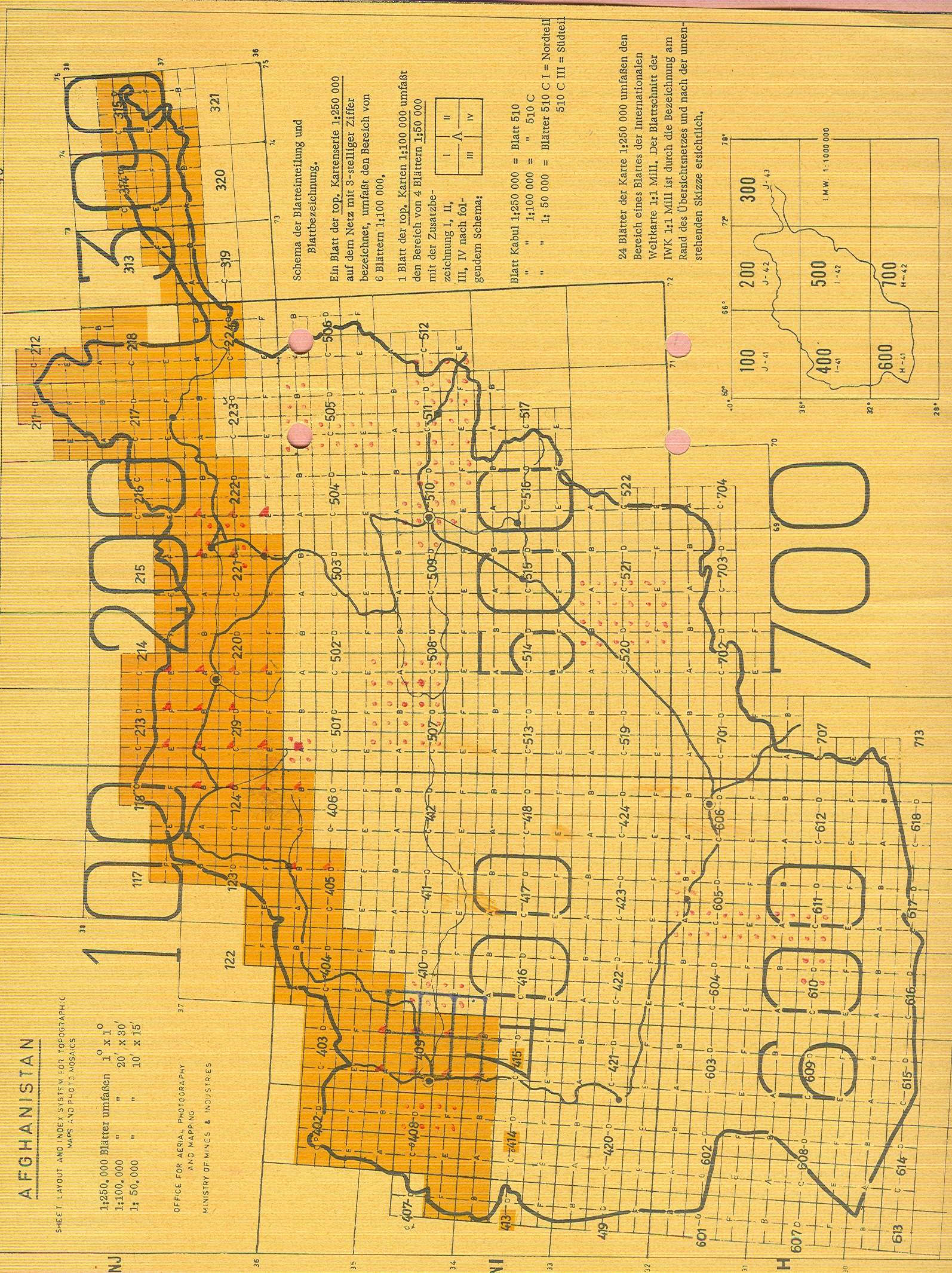
6000-K19 Afghanistan: top. Karte
1:50.000.
6000-K21 Japan.
Japanische Ausgabe
1.50.000,
1902, 2 Bl.
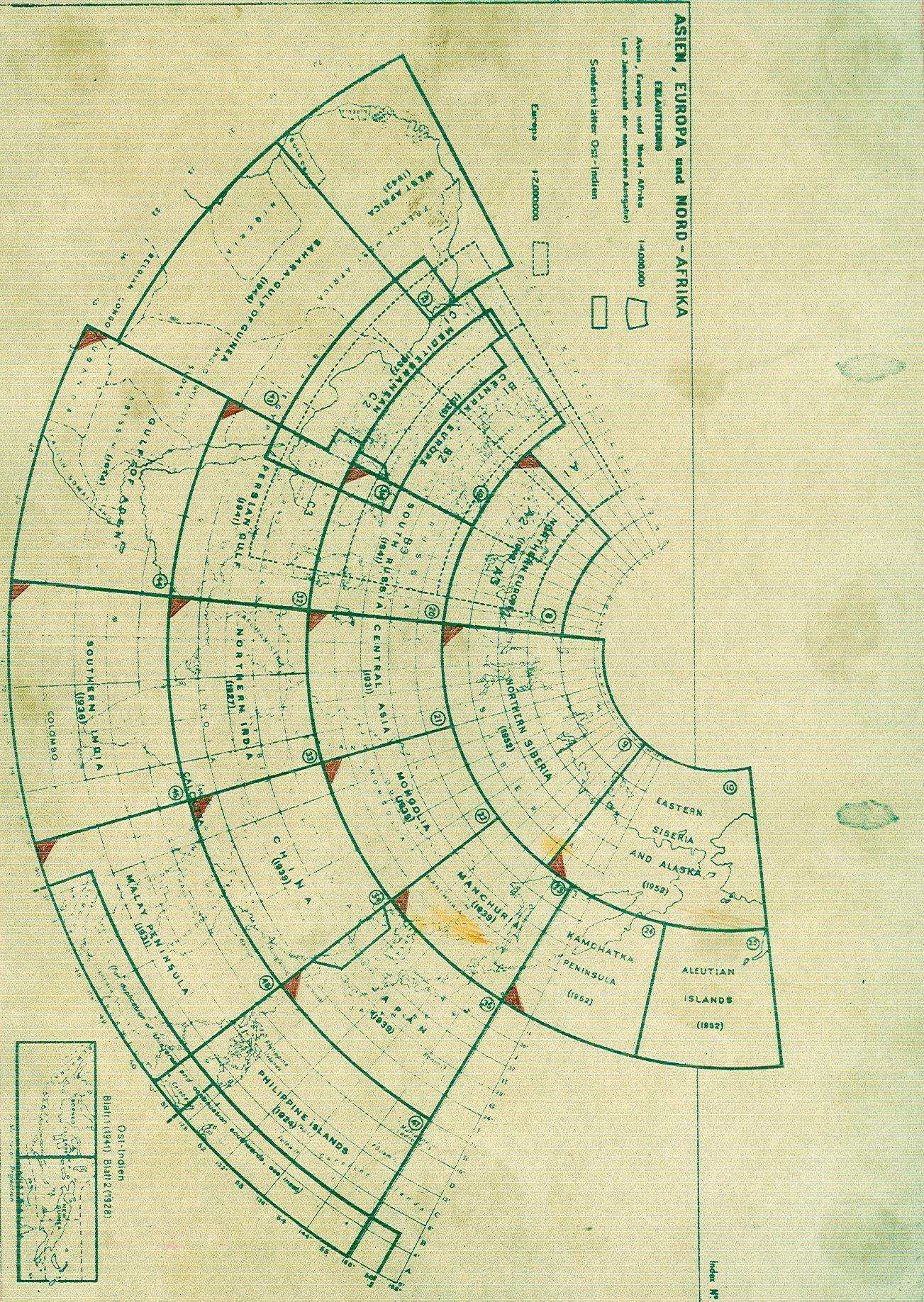
6000-K22 Asien: amtl. engl. Ausgabe
1:4
Mio., 1930-50, mehrfarbig, 15 Bl., unvollständig.
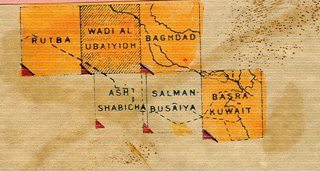
6000-K24 Iraq Desert in 6 Blättern
1:500.000,
1932-55, vollst.
+6000-K25 Libanon:
Geologische Karte in 5 Blättern
1:200.000,
1949/54, mit Erl.
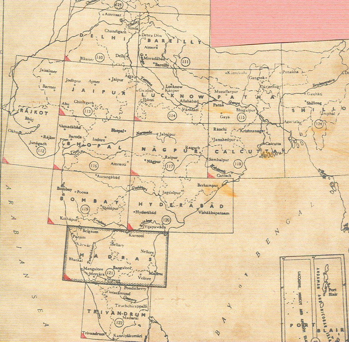
+6000-K26 Kaschmir,
Jammu, NW-Frontier Province, Punjab
1:63.360,
1910/35, 10 Bl.
+6000-K27 Kaschmir,
Jammu, NW-Frontier Province, Punjab
1:126.720,
1916/22, 9 Bl.
+6000-K28 Kaschmir,
Jammu, NW-Frontier Province, Punjab
1:253.440,
1913/35, 10 Bl.
6000-K29 Türkei: Geologische Karte in 8 Blättern
1:800.000, Ankara,
1942-46, 4 Bl.
6000-K30 Palästina
1:100.000,
1924, 4 Bl.
6000-K31 Japan: Topogr. Karte
1:50.000,
29 Bl.
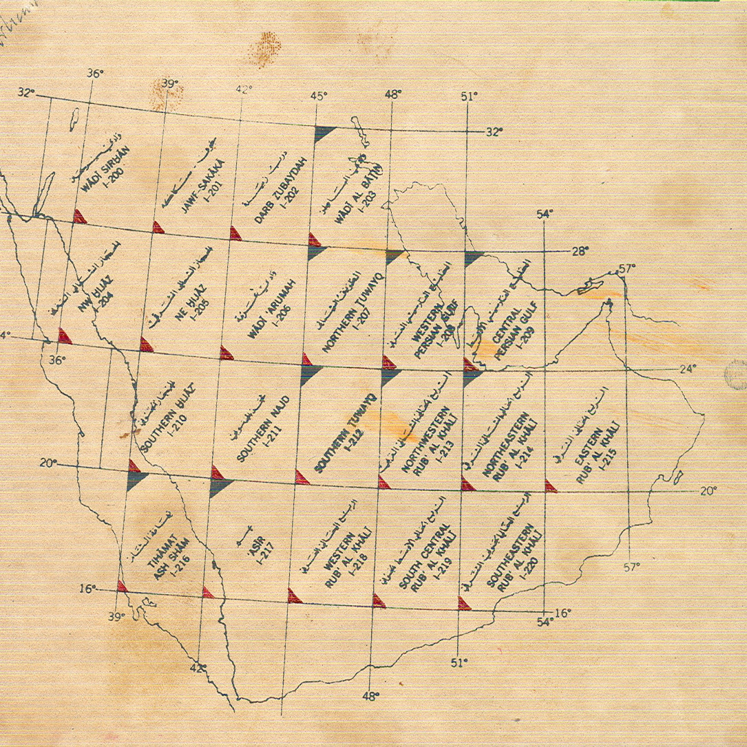
6000-K32 Saudi-Arabien: Geolog. Karte (Hrsg. USA mit
Arabien Oil Company)
1:500.000,
Washington, 1957, 5 Bl.
6000-K33 Saudi-Arabien:
Topogr. Karte
1:500.000,
US Geolog. Survey, 1958.
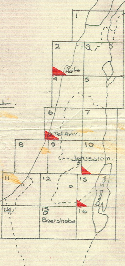
6000-K34 Israel:
Topogr. Karte in 3 Blättern
1:250.000,
Tel Aviv, 1957.
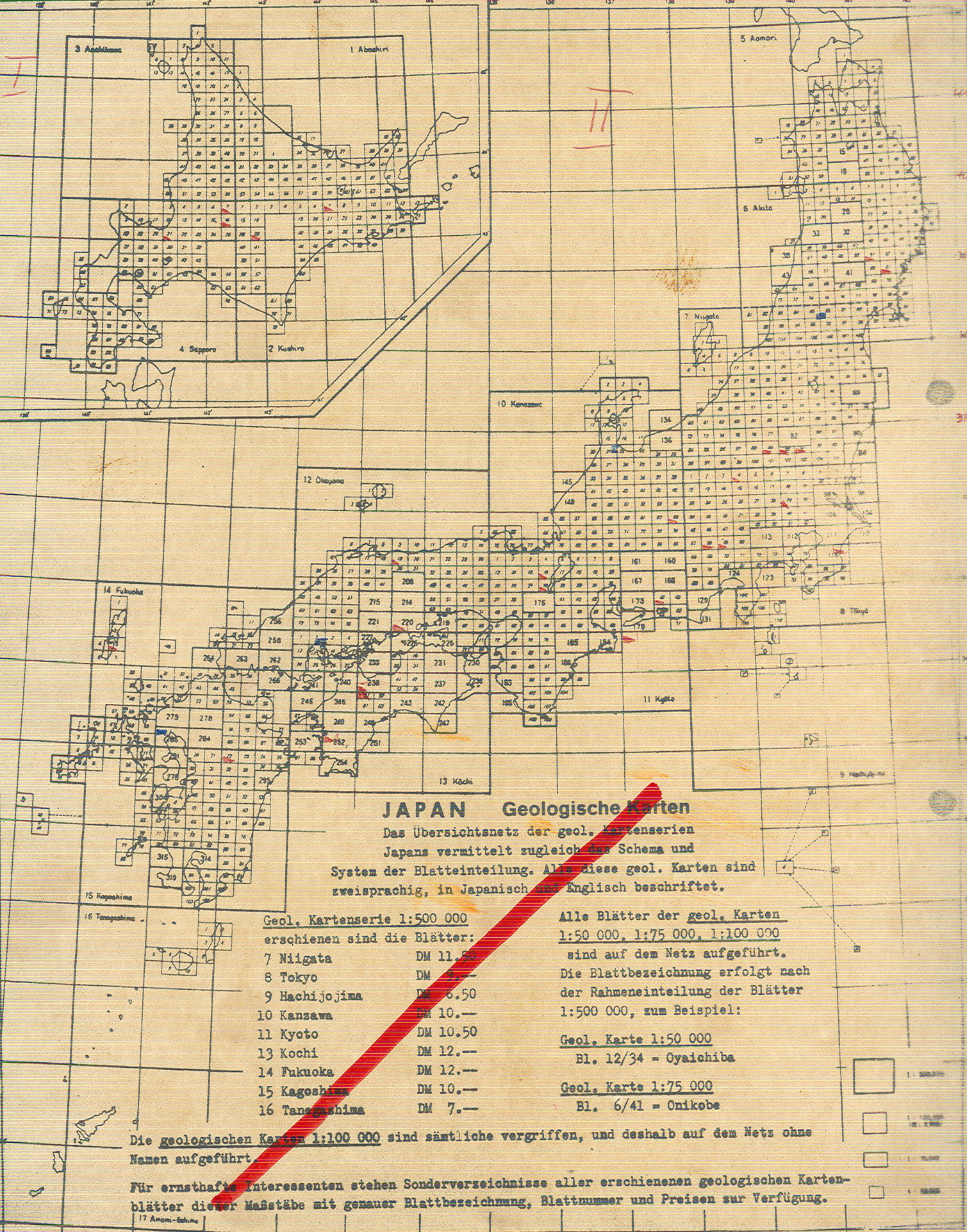
6000-K35 Japan: Geologische Karte
1:50.000,
Tokyo, 1951ff., mit Erl., Geological survey of Japan
6000-K36 China: Atlas of the Geology
of the Tsinglinshan and Szechuan in 18 Blättern, Peking, 1931 ® in der
Bibliothek
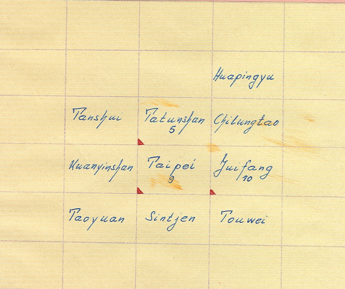
6000-K37 Formosa (Taiwan): Geologische Karte
1:50.000,
1953, 3 Bl.
6000-K38 Zentralasien-Atlas
(Hedin): Blatt NK 43, 44, 45 der internat. Weltkarte
1:1
Mio., Gotha, 1942.
6000-K39 Japan:
Geologische Karte
1:500.000,
1951ff., 8 Blatt.
6000-K40 Japan: Geologische Karte
1.200.000, 1958ff,
11 Blatt.
+6000-K41 Japan: Carte de la radioactivité
du sol et de l´air au Japon
1.200.000, 1:50.000, 97 Blätter, (nur
japan. beschriftet).
6000-K42 Japan: Geologische Karte
1:75.000,
1952ff., Geological survey of Japan, 2 Bl.
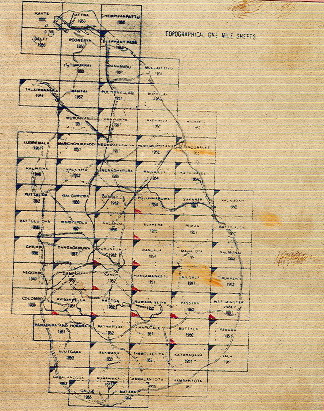
6000-K43 Ceylon: Topogr. Karte (One Inch Map)
1:63.360, Kuala
Lumpur, 1944-60 ff.
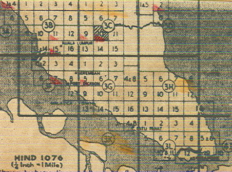
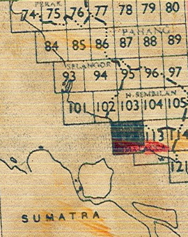
6000-K44 Malaya: Topogr. Karte
(alte Ausgabe der Inch Map)
1:63.360,
Kuala Lumpur, 1941-45, 8 Blatt.
6000-K45 Malaya: Topogr. Karte, neue Ausgabe
1:63.360,
1959 ff., War Office and Air Ministry, 11 Blatt.
6000-K46 Malaya: Topogr. Karte mit Eitragungen der
natürlichen und künstlichen Vegetation
1:63.360,
General Survey of Malaya, 1961 ff.
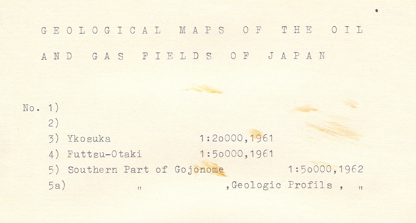
6000-K47 Japan. Geological Maps of the Oil and Gas
Fields of Japan
Geological
Survey of Japan, 1962 ff.
6000-K48 Japan: Hydrological Maps of Japan (mit
Erl.)
Geological
Survey of Japan, 1961 ff.
6000-K49 India: National Atlas of India
Survey of
India, 1960 ff.
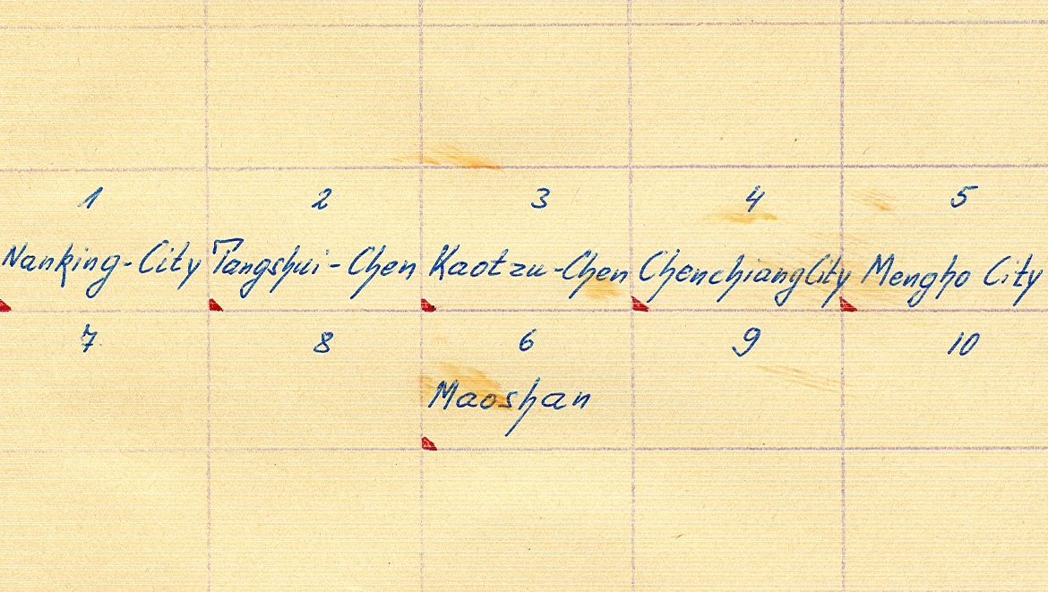
6000-K50 Geological Map of the Nanking Hills, 6
Blatt
1:50.00, Academia Sinica, 1935
6000-K51 Türkei: Geologische Karte mit Erläuterungen
1:500.000, Ankara,
1961, 3 Blatt
6000-K52 Japan: Topogr. Karte
1:25.000,
7 Blatt.
6000-K53 Türkei: Topogr. Karte
1:800.000,
Ankara, 1956, 8 Blatt.
6000-K55 Singapore: Map of Singapore
1:25.000,
Singapore, 1958, 8 Blatt.
6000-K57 Tectonic Map Eurasia
1:5 Mio.,
Moskau, 1966.
6000-K58 Afghanistan
1:100.000.
6000-K60 Japan: Topogr. Karte
1:200.000.
+6000-K61 Japan: Topogr. Karte
1:250.000.
+6000-K62 Codex/
Culheratlas Türkei
1:300.000,
1965-67.
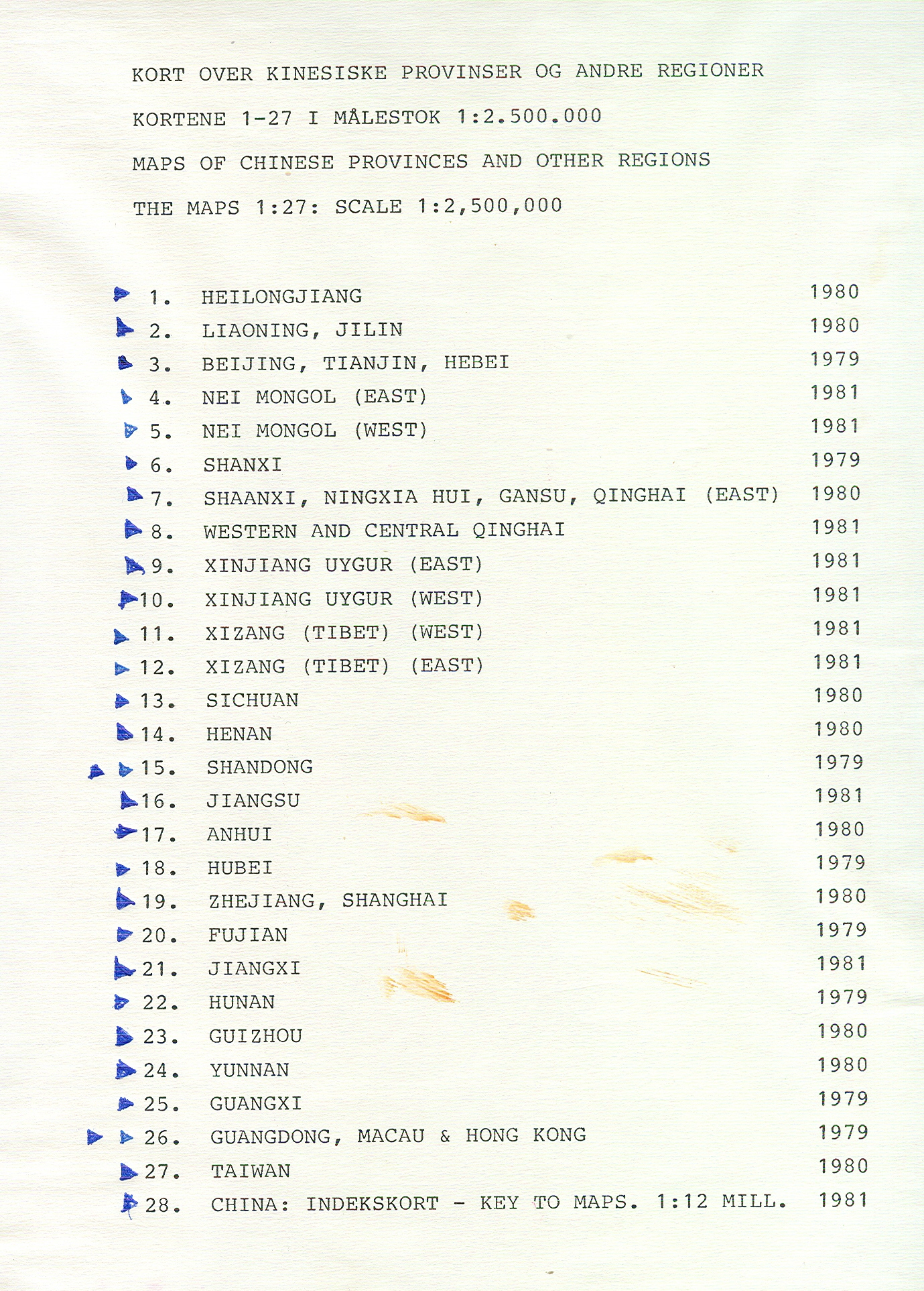
6000-K63 Karten von chinesischen Provinzen
1:
2,5 Mio., 1979 ff.
6000-K64 Tübinger
Atlas des Vorderen Orients (TAVO)
Teil
A: Geographie.
6000-K65 Türkei
1:500.000,
1975.
6000-K66 Japan
1:50.000.
6000-K67 Korea
1:250.000.
6000-K68 India
und Pakistan
1:250.000.
6000-K69 Spezialkarte
vom westli. Kleinasien
1:250.000,
Berlin, 1890.
6000-K70 Atlas of Japan
1:2,5 Mio., , 1: 8
Mio., 1:12 Mio., 65 Blatt.
+6000-K71 Geological Map of Taiwan
1:50.000,
ab 1992.
+6000-K72 TAVO
Teil A und B.
6000-K73 Studien
zur Klimatologie des südasiatischen Raumes.
|
gesamt
und größere Teile* |
||
|
|
||
|
(Signatur) |
*für
UDSSR siehe N-Asien/ Innerasien (Signatur 6800)
6000-1 Asien,
aus Debes Handatlas
1:28
Mio., 1898.
A6000-2 Mittelasien,
Indien, China: aus Sydow-Wagners method. Schulatlas
1:20
Mio.
A6000-3 Asien:
politische Karte
Kupferdruck
aus Stielers Handatlas, 1841.
A6000-4 Asien:
Meerfernen (A. Penck): aus Sydows Hydrographischer Atlas.
6000-5 Asien:
Reliefkarte nach Lamberzs flächentreuer Azimutalprojektion
1:22
Mio.
6000-6 Asien
1:20
Mio., Warschau, 1959.
A6000-7 Atlas
von Asien: zu C. Ritters allgemeiner Erdkunde (20 Bl.), 1852-54.
6000-8 Asien:
Umrißkarte aus Birks Netz-Atlas, Berlin.
+6000-10 Asien
1:20
Mio., Wien.
6000-11 Ostasiatischer
Raum
1:10
Mio., 1940.
6000-12 Asien:
Übersichtskarte
1:12
Mio., o.J.
6000-13 Geologische
Karte von Süd und Ost-Asien
1:5 Mio., Unesco,
1990.
6000-14 Pamir-Knot
1:1 Mio.
6000-15 Cholera Eltor Pandemic
after 1961. A new phase in the
Epidemiology of cholera
1:30 Mio., s.a. 2001-58.
6000-16 Umrißkarte:
Klöden´s Repetitionskarten
1:30 Mio.,
1890, s.a. 1010-E.
6000-17 Südostasien: Vietnam,
Kambodscha, Laos, Thailand
1:1.900.800, 1967.
6000-18 Asien
1:13.812.480,
1996.